SWAT gives you over 10,000 places to choose from when you set the places for your alerts. They are grouped into the place types below.
All of New Zealand
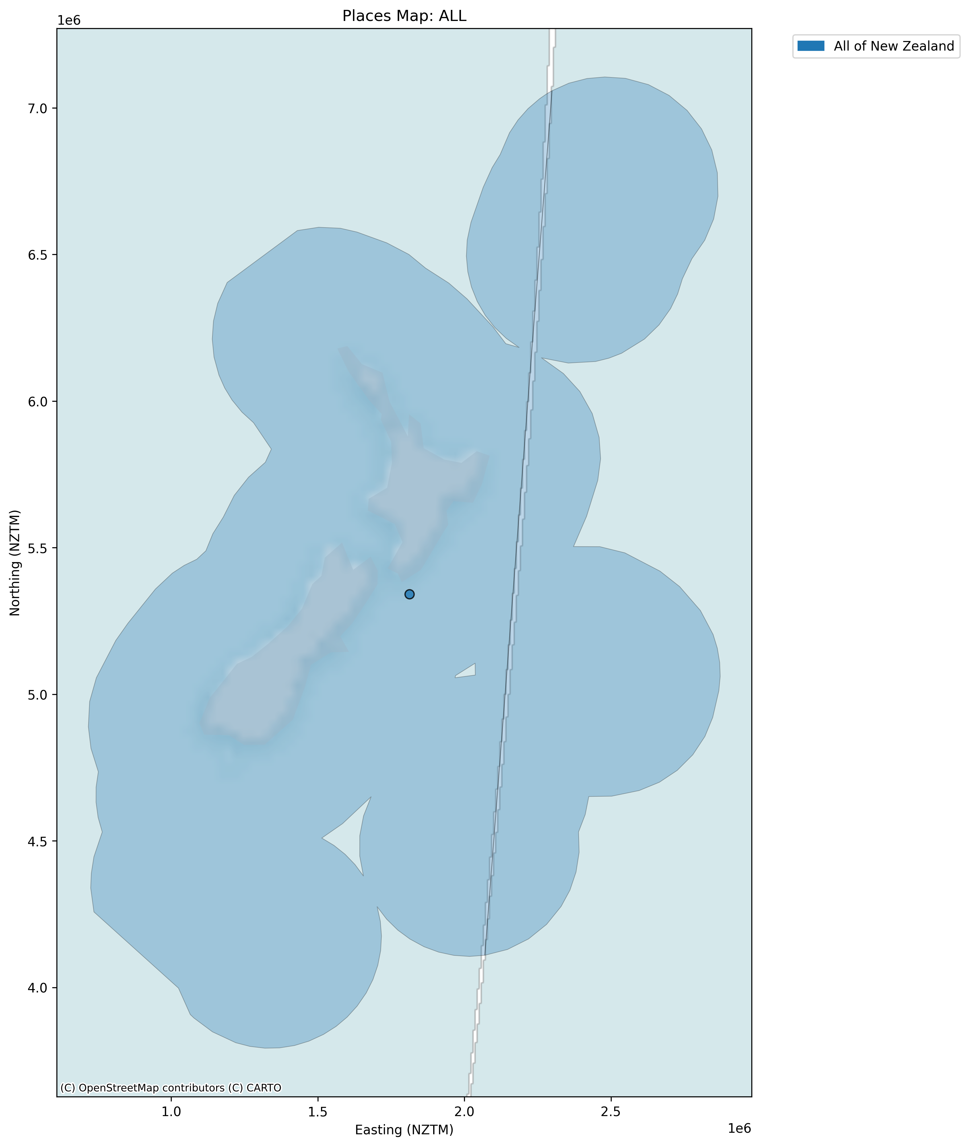
'All of New Zealand' covers all islands of New Zealand and their marine regions. This is how GBIF interprets the country code 'NZ'. It matches every weed record that SWAT receives from GBIF, so you cannot add a buffer to this place. The map below shows the full area.
Regions
Regions come from the Regional Council 2025 map. This map sets the seaward boundary of each region at New Zealand's 12-mile (19.3 km) territorial limit. Alerts for regions automatically include weeds up to this limit offshore.
The 'Area Outside Region' place is excluded. The remaining places are clipped to the coastline.
Districts
Districts come from the Territorial Authority Local Board 2025 Clipped map. Each district is clipped to the coastline.
The term 'Districts' covers districts and cities (covered by Territorial Authorities), Local Board Areas, and the Chatham Islands Territory. The 'Area Outside Territorial Authority' place is excluded.
Suburbs
Suburbs come from the NZ Suburbs and Localities map.
Places of type Suburb and Locality are included in SWAT. Types of Coastal Bay, Conservation Land, Lake, Inland Bay and Island are excluded.
Islands
Islands come from the NZ Coastlines and Islands Polygons map. SWAT includes only some of these islands. Where island names repeat, we add a label so you can tell them apart. North Island and South Island appear as their own buttons for ease of use.
Iwi areas of interest
Iwi areas of interest come from the Te Puni Kōkiri Iwi Areas of Interest map. The two Te Ātiawa areas have labels so you can tell them apart.
Public conservation land
Public conservation land comes from the DOC Public Conservation Land map. We have reordered some place names to make them easier to read, and combined some areas that share the same name.
DOC districts
DOC districts come from the DOC Operations Districts map.